
recovery
Post‑event UAS support delivers critical value by precisely documenting damage and tracking the recovery process. Our insurance‑grade aerial data equips stakeholders with the clarity needed to accelerate claims processing and streamline FEMA relief efforts.
-
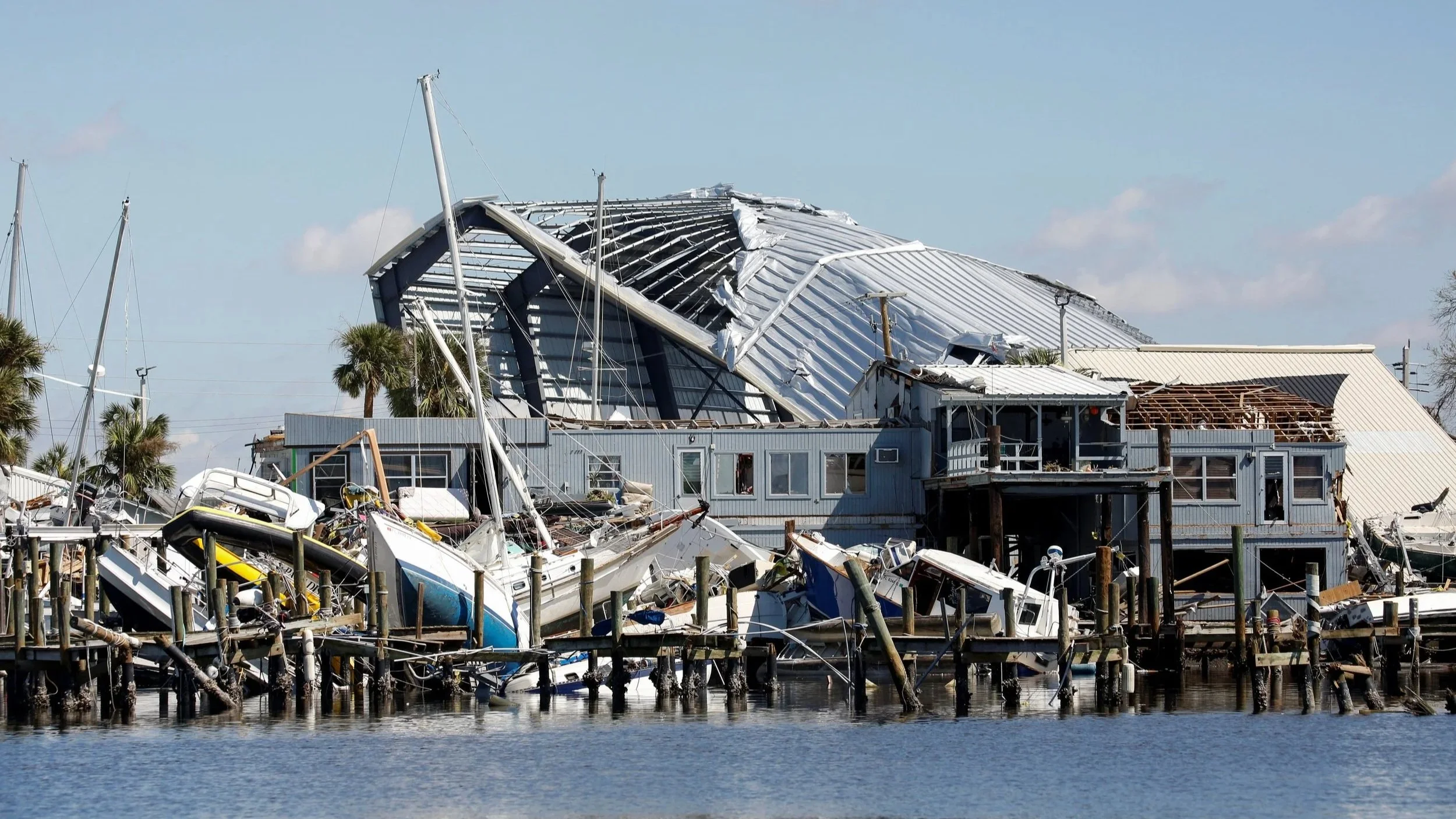
Damage Documentation
High-resolution drone imagery & video provides a clear, timestamped record of damage. This documentation supports insurance filings, legal assessments, and post-disaster audits with reliable visual proof.
-

Comparative Analysis
Before-and-after imagery helps quantify damage and guide response. Integrated with our pre-disaster documentation, this data becomes a powerful tool for validating impact and accelerating recovery decisions.
-
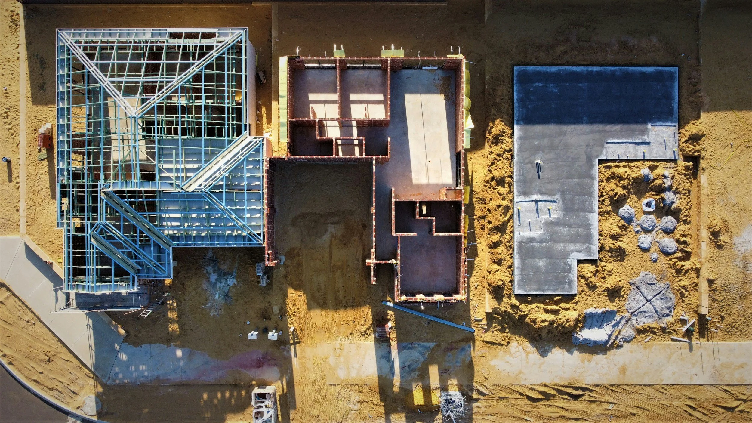
Progress Monitoring
Recurring drone flights track progress with consistent aerial updates. Our imagery helps confirm timelines, document changes, and ensure transparency for insurers, project managers, and oversight teams.